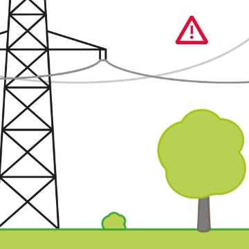
The transition towards sustainable energy sources requires the extra-high-voltage grid to be upgraded and expanded to comply with the amount of electricity that will need to be transmitted in the future. While new renewable energies are briskly being established and are enjoying a high level of popularity, grid expansion projects are often slow to progress.
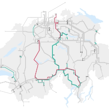
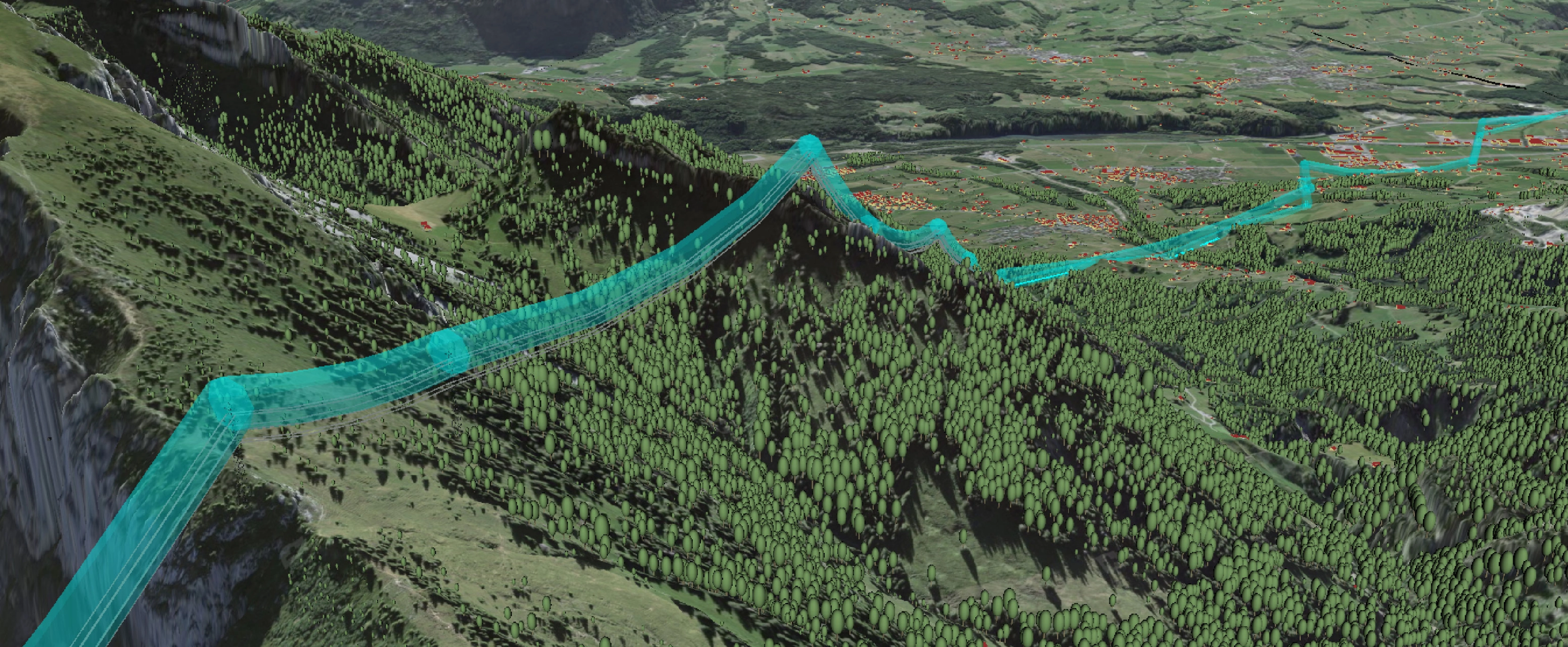
Planning a new transmission line is a highly complex undertaking. A multitude of different interests, including those of citizens, need to be taken into account, as do aspects relating to regional planning, the environment, technology, and economic viability. And they are often contradictory. This poses the question of how to find the path of least resistance, the good old «Swiss compromise». A new tool, developed at ETH Zurich, aims to help Swissgrid find the best possible path for a new line. In the film, Dr Joram Schito, research associate at ETH Zurich, explains how this 3D Decision Support System (3D DSS) works and how it can be used in the future.
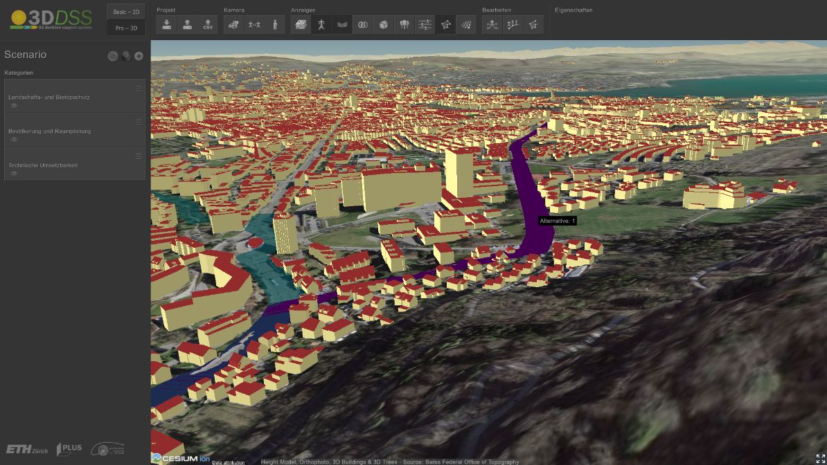
What is the 3D DSS?
Different areas, such as residential zones or nature conservation areas, are uploaded and assigned a resistance. The resistance expresses the suitability of an area for constructing an extra-high-voltage line. The higher the resistance, the less suitable the area is for a new line and the further away the line is pushed. The algorithm then looks for the path of least resistance. This is obviously not as easy as it first sounds. A number of challenges exist, including the question of how big the buffer should be from a zone with high resistance, such as a residential area. Another issue is to determine where an overhead line, underground cable, or a combination of the two technologies is better suited. The aim is to find the path for the new line that has the lowest possible negative influence on people and the environment, while remaining technically feasible and cost-effective.


Using the 3D DSS in practice
Swissgrid is using the 3D DSS concept in two pilot projects and as part of its strategic grid planning together with the ETH spin-off, Gilytics. 3D DSS helps Swissgrid search for corridors for a new line and compare different alternatives, while the 3D visualisation facilitates communication with affected parties. But this digitalisation is not just of use when planning new lines. It also helps maintain the existing grid, for instance when deciding where and when trees and other plants need to be pruned to ensure they do not get too close to the line. This topic will be covered by a future blog article.
Guest author

Author