Overview
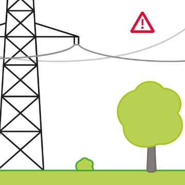
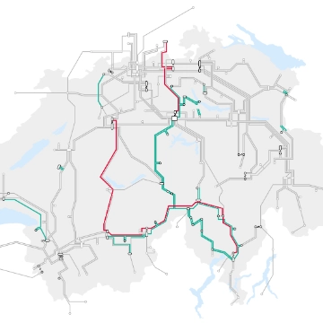
Swissgrid manages more than 6,700 kilometres of 380/220 kV lines and 12,000 pylons. The company is an expert in its field and has mastered the construction and maintenance of ultra-high-voltage lines in Switzerland. Most of them cross natural hazard zones. The hazard zones along the Chamoson – Chippis line are known and listed by the Canton of Valais. In the Swiss Federal Office of Energy’s approval for the line from 2010, one requirement was for Swissgrid to determine measures to be applied for the construction of pylons situated in natural hazard zones, in collaboration with the cantonal geologist. Based on the new cantonal directive relating to the establishment of hazard zones and corresponding construction permits, the cantonal geologist demanded an additional natural hazards study for the Chamoson – Chippis ultra-high-voltage line project, specifically between pylons 121 and 173. .The company BEG was tasked with undertaking a further study, the results of which were presented to the cantonal geologist by Swissgrid in 2016.
Managing the risks linked with such hazard zones is the focus of Swissgrid’s endeavours. Numerous engineers from different areas have been at work for years already, studying these specific measures, which have been known for some time.
In these zones, Swissgrid is currently collaborating with the cantonal geologist and specialists in geotechnical studies with the goal of applying specific protection measures for each type of hazard.
Types of hazards
Below are the main types of natural hazards listed by the canton of Valais along the route of the Chamoson – Chippis line.
Danger of land movement
Ground instability is characterised by the risk of ground movement. This encompasses several phenomena such as landslides, falls and collapses.
Danger of rock falls
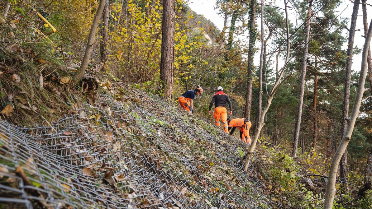
The term rock fall refers to any sudden fall of rocks or isolated blocks from a mountain. These blocks usually become detached due to weaknesses in the rock. The type of soil and geological structure play an important role in the consideration of this type of risk. The chalkier the rock, the more crumbly it tends to be. The danger of rock falls is also influenced by meteorological conditions and climate. Rock falls notably tend to increase with heavy rain.
Danger of debris flow
Debris flow is characterised by a mixture of water and solid materials swept along, , such as sand, gravel, rock and even wood. This phenomenon arises when the sediment content nears or exceeds that of the water flowing, rendering it thicker and more granular. This spectacular mass can exceed two tonnes per square metre.
Protective measures for the Chamoson – Chippis line
In every powerline construction project, Swissgrid must meet very precise risk management criteria. With this in mind, the company relies on recognised experts and technical studies to validate the feasibility and to realise the projects.
In the case of the Chamoson – Chippis line, Swissgrid is depending on several rigorous technical studies, recognised by experts and the law. Each natural hazard zone crossed by the line is listed and monitored by the Canton of Valais and its respective departments. Detailed planning per pylon is carried out in order to define and ratify the construction parameters. As each pylon is erected on a different type of surface, it is essential for Swissgrid to understand the environment in which it will be constructed perfectly.
This process allows specific technical protection solutions to be defined for each natural hazard zone. Moreover, Swissgrid is collaborating with the municipal authorities and the Canton of Valais in the application of technical protection measures for several pylons in natural hazard zones. In these cases, the goal is to identifie extended joint solutions that will enable the protection of not only the pylons but also cantonal and municipal roads, industrial zones and homes.
List of potential protection measures
Against land movement
Placement of one to four ground measuring devices (inclinometers) per site. Based on the data collected over a period of a year up to 18 months, the potential adaptive measures will be defined, including:
- Reinforcement of foundations
- Deepening of foundations
- Securing of pylon feet through reinforced concrete girders
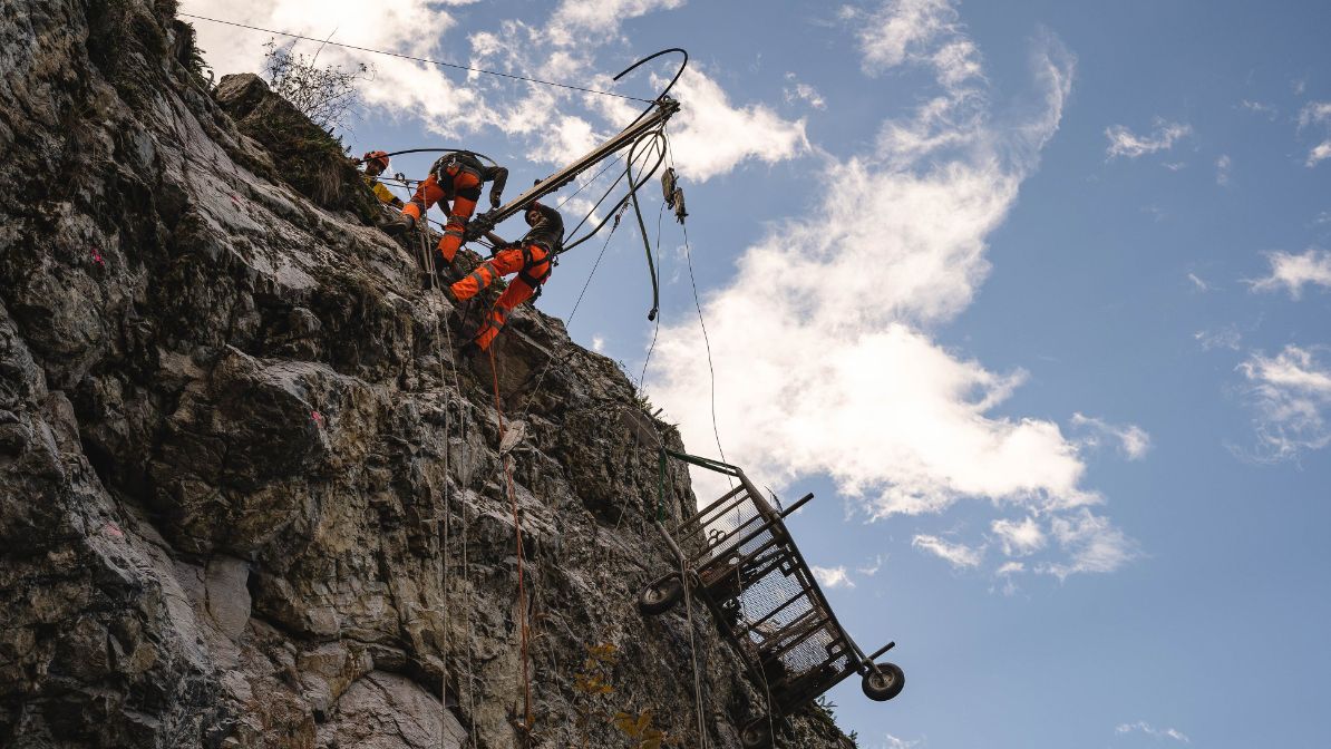
Against rock falls
- Placement of rock fall protection netting
Against debris flow
Example: Chandoline pylon
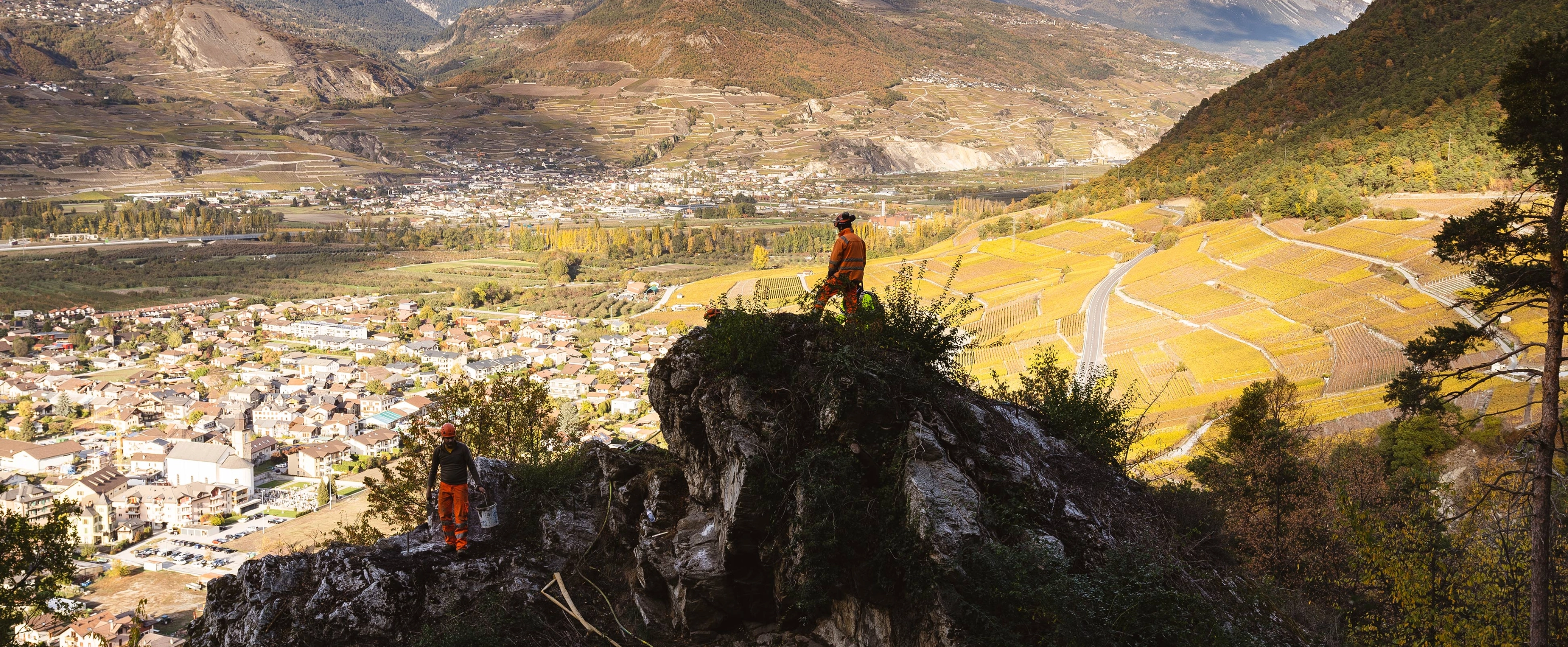
In order to reduce the potential risks associated with the construction of pylon number 2 of the Chandoline connection, Swissgrid implemented various protection measures, including the installation of two inclinometers on the site. The pylon is effectively situated in an area where the ground is unstable and slopes at 40 degrees. With the goal of rendering it stable in this environment, Swissgrid secured the pylon’s feet uphill and downhill using reinforced concrete girders and piles placed in the direction of the slope.
Furthermore, ground repair work was carried out following the storms of the winter of 2017/2018. Log caissons were installed below the foundations and the footpath above the pylon was secured with a wooden barrier.
These measures were part of the additional study realised by BEG at the request of the cantonal geologist and were implemented with the latter’s help.
Due to the construction measures implemented by Swissgrid, the pylon has not moved since it was installed in the spring of 2017.
Inclinometers for the Chamoson – Chippis line
Ground monitoring is the first measure applied in land movement zones.
In order to monitor all potential risks, Swissgrid has installed between one and four inclinometers at the site of pylons erected in these zones. These measurement devices enable surveillance down to a depth of 25 metres and are put in place a year to 18 months before the construction of the foundations start. This regular monitoring of ground movement subsequently enables the definition of specific protection measures that need to be put in place during the construction of pylon foundations. Moreover, these inclinometers will continue to provide ground measurements throughout the life of the line.
List of pylon sites benefiting from ground measurements: