2019 Digitisation Maintenance

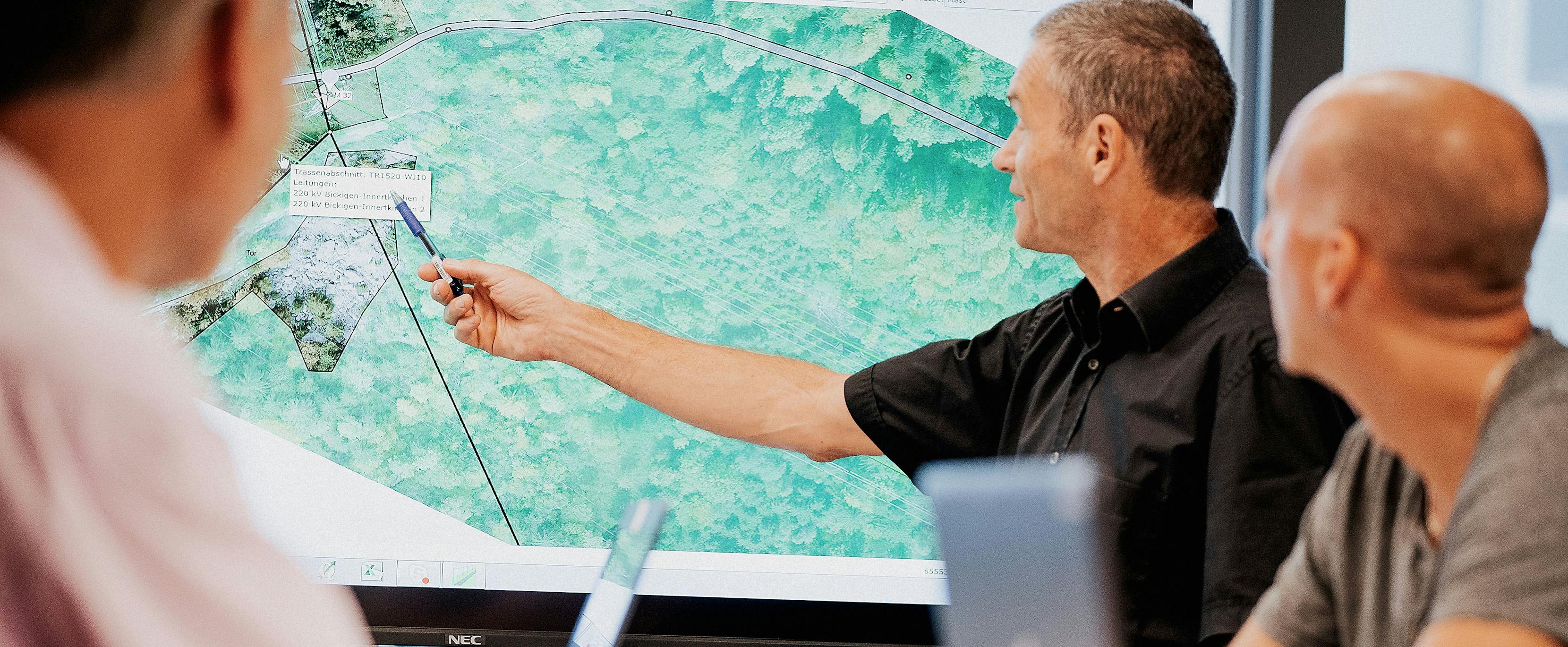
«3D data opens up a whole range of possibilities», says Florian Leber, Application Owner at Swissgrid. At the push of a button, the blank screens show a cloud of colourful points replicating an extra-high-voltage line, specifically Swissgrid’s 220 kV Breite-Landquart line and the associated 200-metre-wide corridor. The cloud of points shows electricity pylons, conductors, the ground wire, pylon bases, the earth’s surface as well as trees and bushes, roads, paths and buildings.
Swissgrid has never before had access to such precise data on the lines. The entire Swiss transmission grid is recorded in this new digital 3D model. This model makes information on the facilities and their environment available from office desks. At the click of a mouse the employees at the individual bases, such as engineers, project managers and facility managers, all have access to the same database.
Along with his colleague Markus Willi, Florian Leber is now working on processing this immense data record so that it can be used for various applications. They are currently calculating the vegetation near the lines. This data greatly simplifies the work of facility managers and foresters. Swissgrid foresters or external service providers previously monitored the lines exclusively by sight. This means that they had to travel along 3600 km of corridors by car, on foot or, in particularly impenetrable areas, by helicopter. The new 3D data now allows the precise distance of every tree and bush to the conductors to be calculated. It also allows different scenarios to be simulated. For example, in hot weather the line expands and the sag increases. Wind can cause the conductors to swing. So, is the safe distance to a tree also ensured in high summer or in the case of strong wind? All of these situations can be simulated with the 3D model. An initial analysis can therefore take place at the desk. Then the forester can specifically inspect the problem points and define the measures that have to be implemented. A huge increase in efficiency.
But the 3D model can also do a lot more: Florian opens various applications and starts different simulations, such as the ice load scenario: the system quickly calculates how the weight of snow and ice influences the distance of the conductor to the ground. This is important to ensure compliance with the statutory minimum distances so that, for instance, no electric arc can occur to objects near the ground.
For current operations, the basic data alone is hugely important. Even without simulations, it provides precise information on the facilities and their environment. This makes it much easier to provide information, for example, to builders near the line of for facility managers, when they plan upcoming maintenance work. The 3D model therefore provides valuable data that ultimately simplifies operation and improves the security of supply.
The collection of this 3D data and the creation of the 3D model was a huge project. A helicopter had to fly over every line to record it using digital aerial photography (orthophotos) and the latest scanning technology (Airborne Laser Scanning). This part of the project was completed in 2018.
The recordings of the lines in the transmission grid are constantly updated after renovations, while the data on the vegetation is recollected every two years. This means that a new data record is added to the existing one. Linking the new data with existing information enables the creation of another set of entirely new calculations. For example, how does the vegetation in the line corridors change within two years? «And these are just the easiest questions that the data will answer», says Florian Leber with a laugh.


